What's being built near you?
Every new home, extension, shop and big scheme going through Leeds planning, on one map. In plain English, free.
833 approved and 1,273 waiting for a decision in the last few months · 1,038 new homes approved · council file dated 1 November 2026
See it built
We read the council's planning papers and picture the finished building. These are AI artist's impressions to give you a feel, not the approved designs.
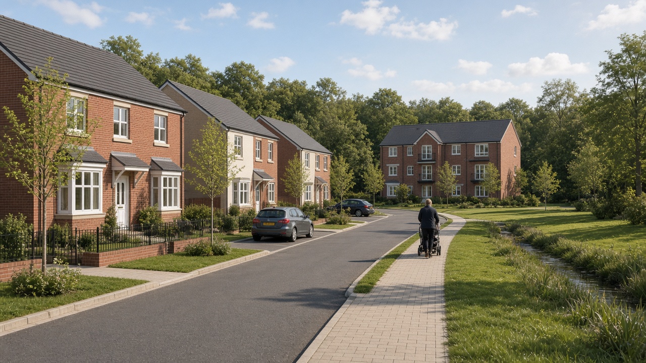 AI artist's impression, not the approved designFormer Lloyds site, Cote Lane, FarsleyApproved 23 October 2026 · 120 homes
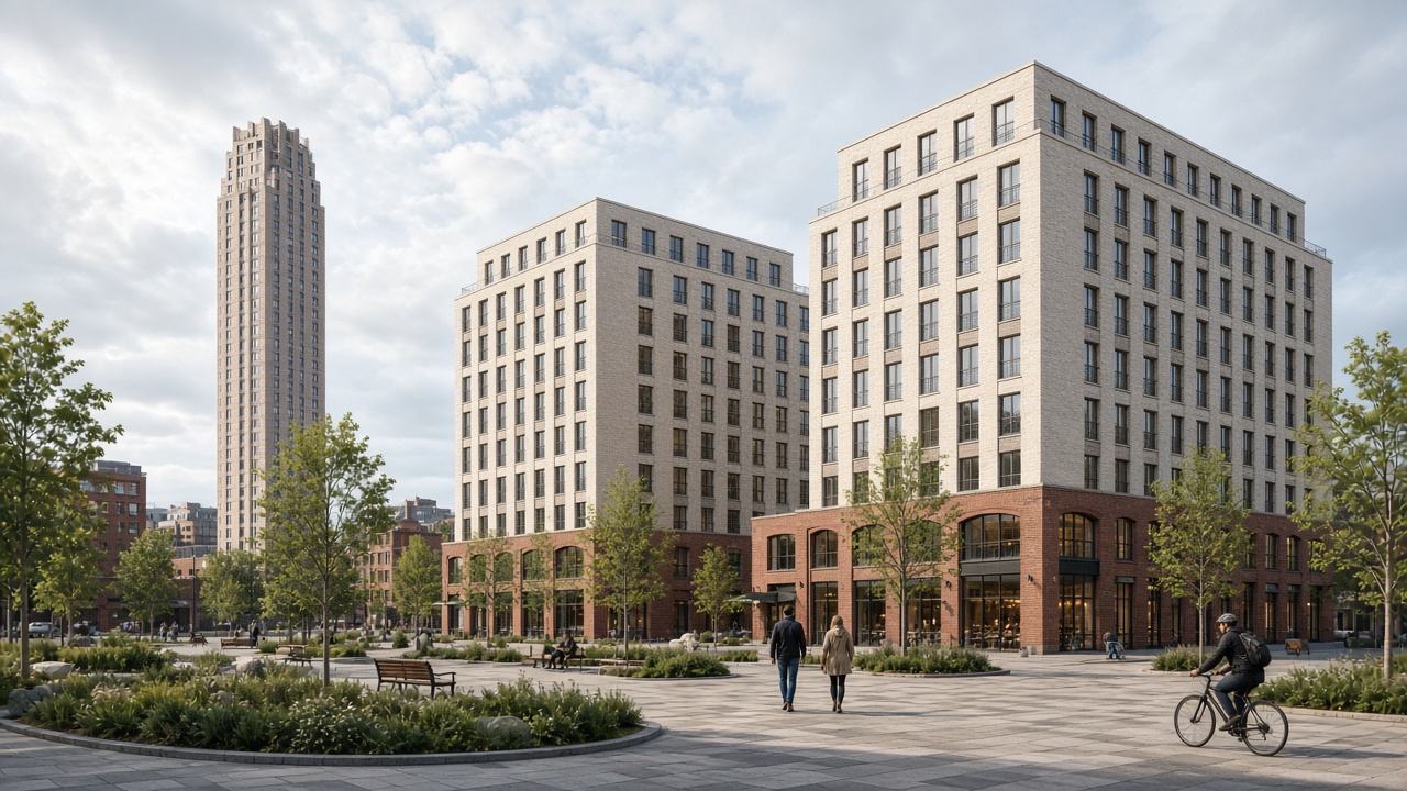 AI artist's impression, not the approved designSweetfields Phase 2, Sweet Street West, HolbeckApproved 8 September 2026 · 541 homes
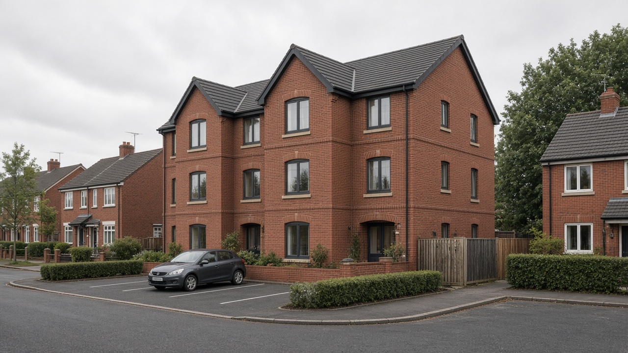 AI artist's impression, not the approved designFoundry Mill Street, SeacroftApproved 22 July 2026 · 7 homes
New · from Terravision's satellite team
Check the ground before you buy or build
Leeds sits on old coal mines. Some streets are slowly sinking, and some plots flood. Pick any plot or scheme and get a plain-English ground report in minutes: old mine workings, ground movement seen from space, flood zones, slope and green belt, with a map you can open in Google Earth.
- Old shallow coal workings on or near the plot
- Is the ground sinking or rising? (radar satellites)
- Flood zone, slope and green belt
- Recent planning applications next door
- PDF report + Google Earth (KMZ) file
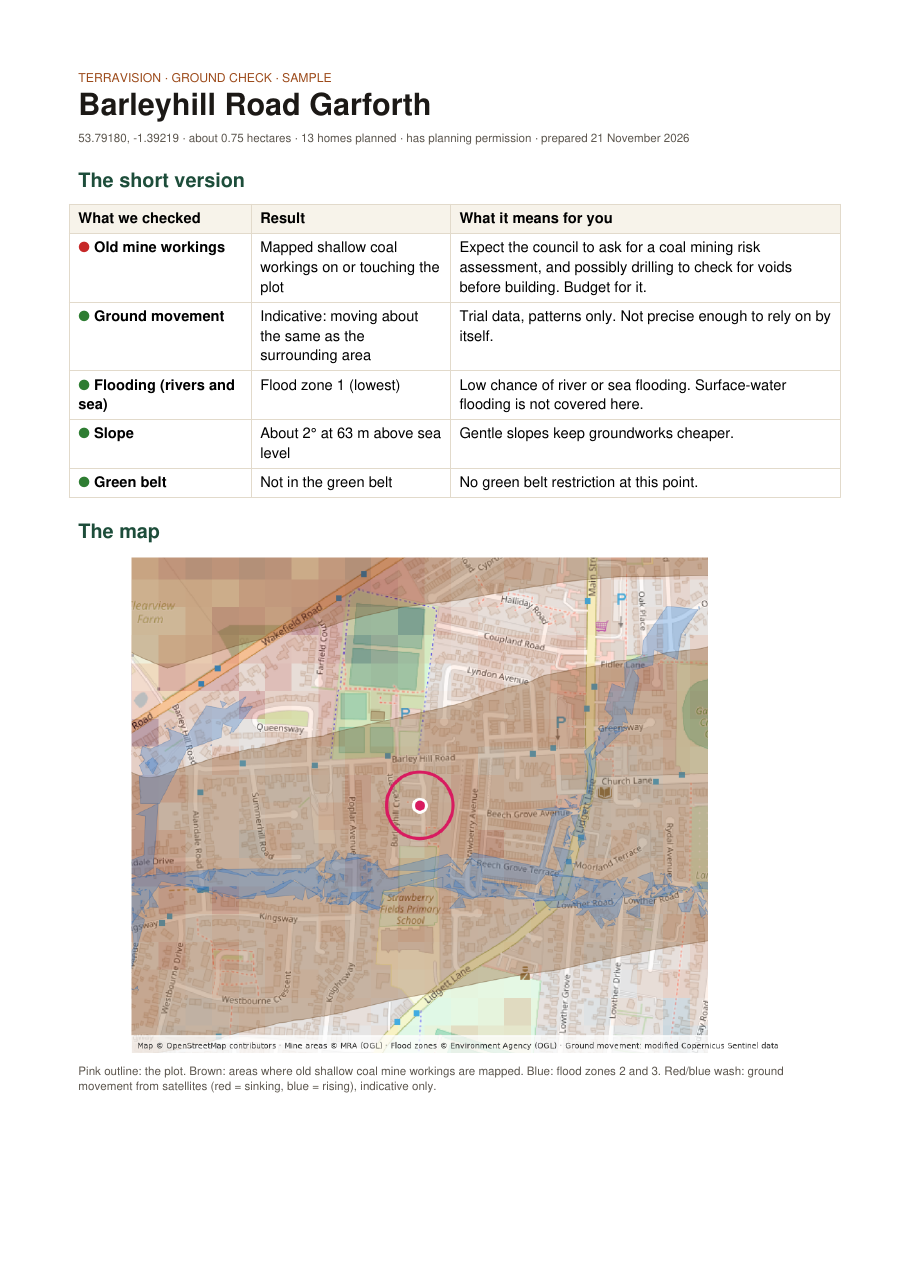 Sample: Barleyhill Road, Garforth
Never miss what's planned on your street
One short email when the council publishes new decisions. Free, no spam, unsubscribe any time.
Subscribe free